Cape York Trip
Part 3
This is the follow up of Cape York Trip 2
Day 6
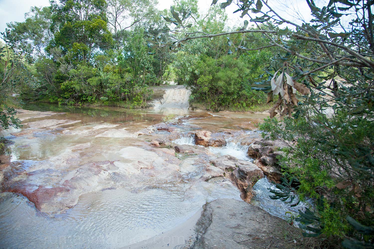
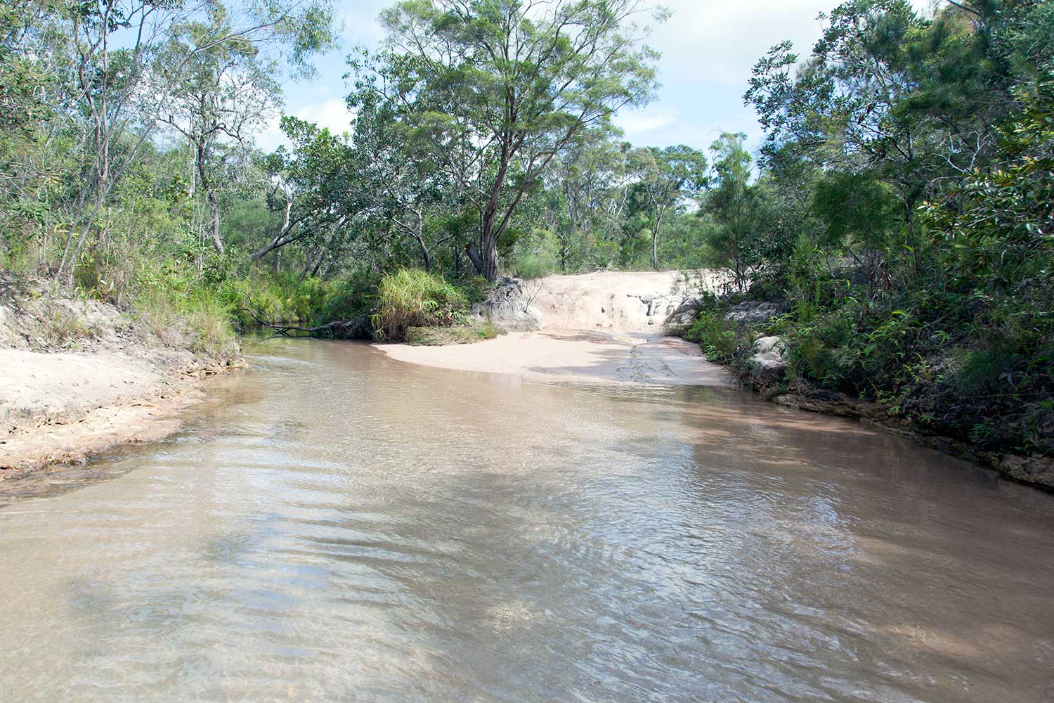
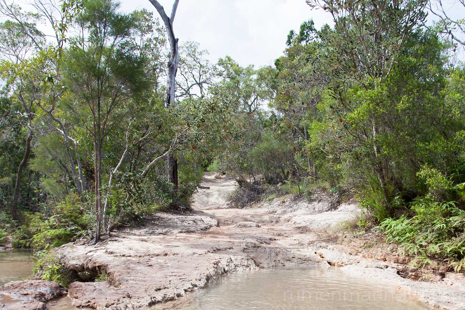
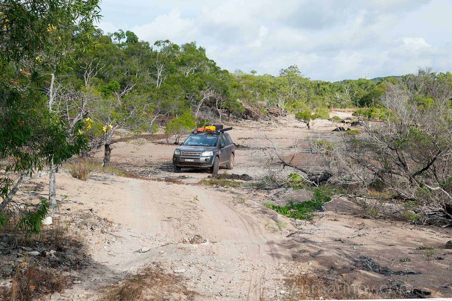
Despite the late night swim with the girls, I wake up very early and continue along the northern section of OTT. Soon after I drive through Canal Creek, which is easy, but my next serious obstacle is Sam Creek. I pass the creek OK, but the exit is very tricky (sharp and steep). My Landie comes to a hold on top of a large protruding rock and doesn’t want to go up. I panic, manage to reverse and then, with more speed, go over the rock. I succeed, but I am badly shaken. Also I find a serious dent on the metal plate protecting the engine underneath. Only later I will see that there is an easier “chicken track” bypassing the treacherous rock. Nevertheless, this is not the end of my struggle with Sam Creek. There is another, longer, steeper and more eroded climb and no matter how long I look around for an easier track, there is none, this is it – this is the “chicken track”, everything else is impossible!
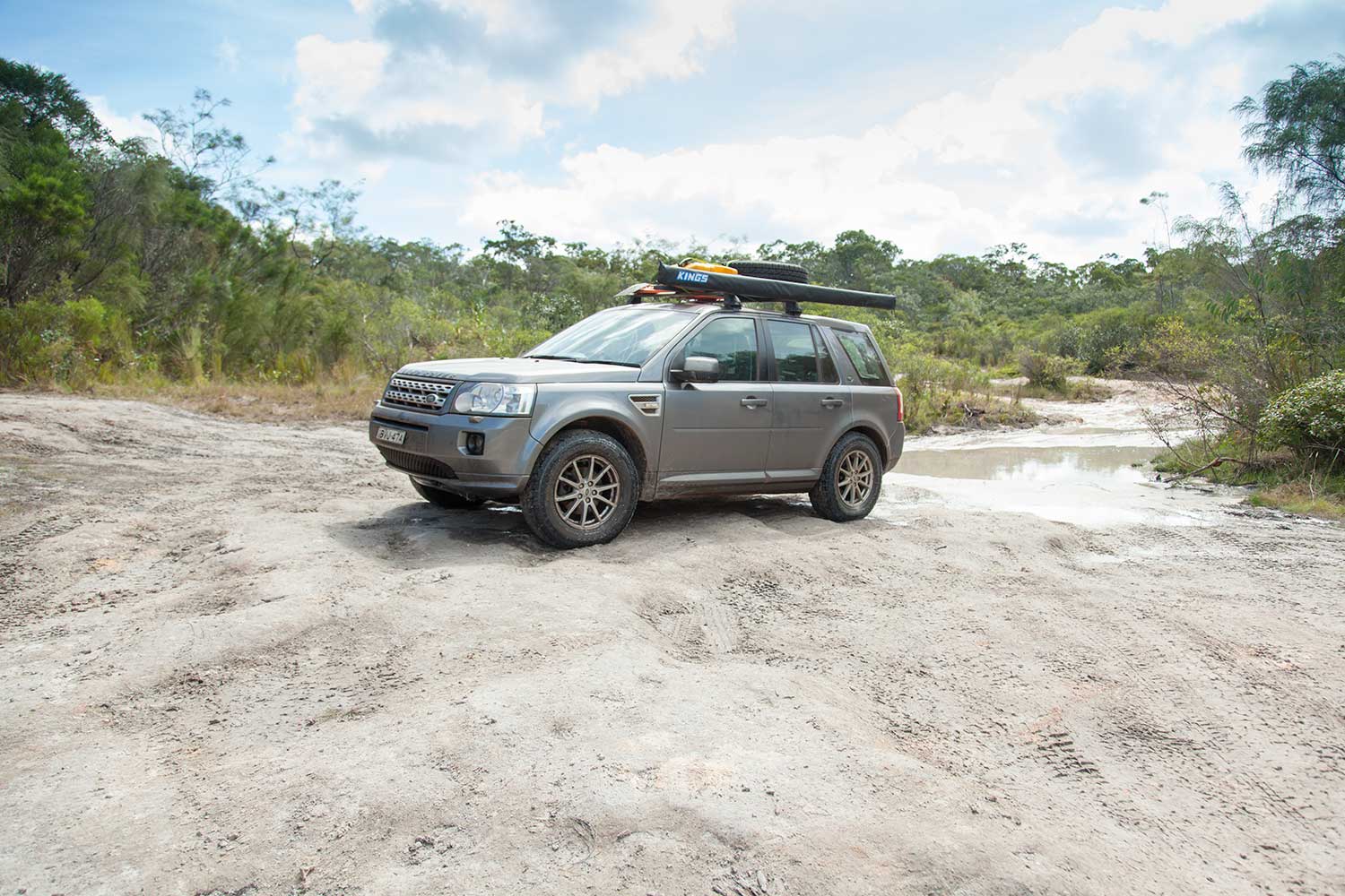
I take my time devising a clever line of movement, which has its risks – if I step a few centimetres to the right, I’ll flip the car over sideways; a few centimetres to the left will send me into the deep ruts dug by the numerous lifted Toyotas. So I cross my heart and go. It actually works like a dream, there is no place for a mistake and I make none, and the Landie holds it together as ever so far. But it takes time, with this kind of a slow progress I realize, I’ll never manage to fit into my time frame – back to Sydney in the remaining 5 days! I have no option but to skip the rest of the OTT and leave it for next time.

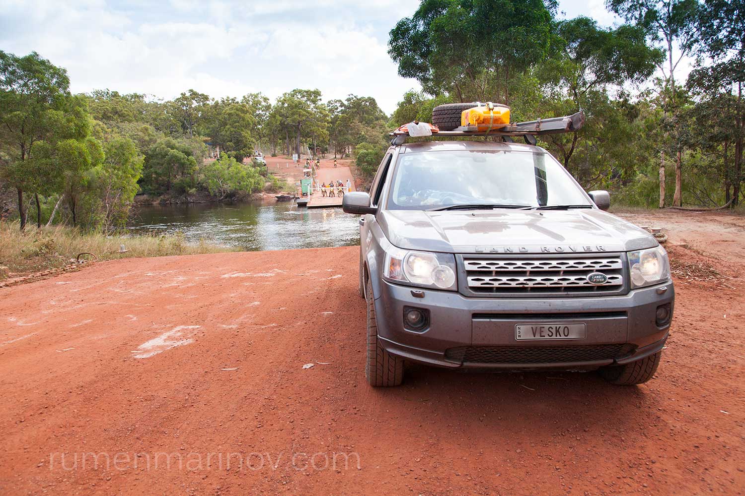
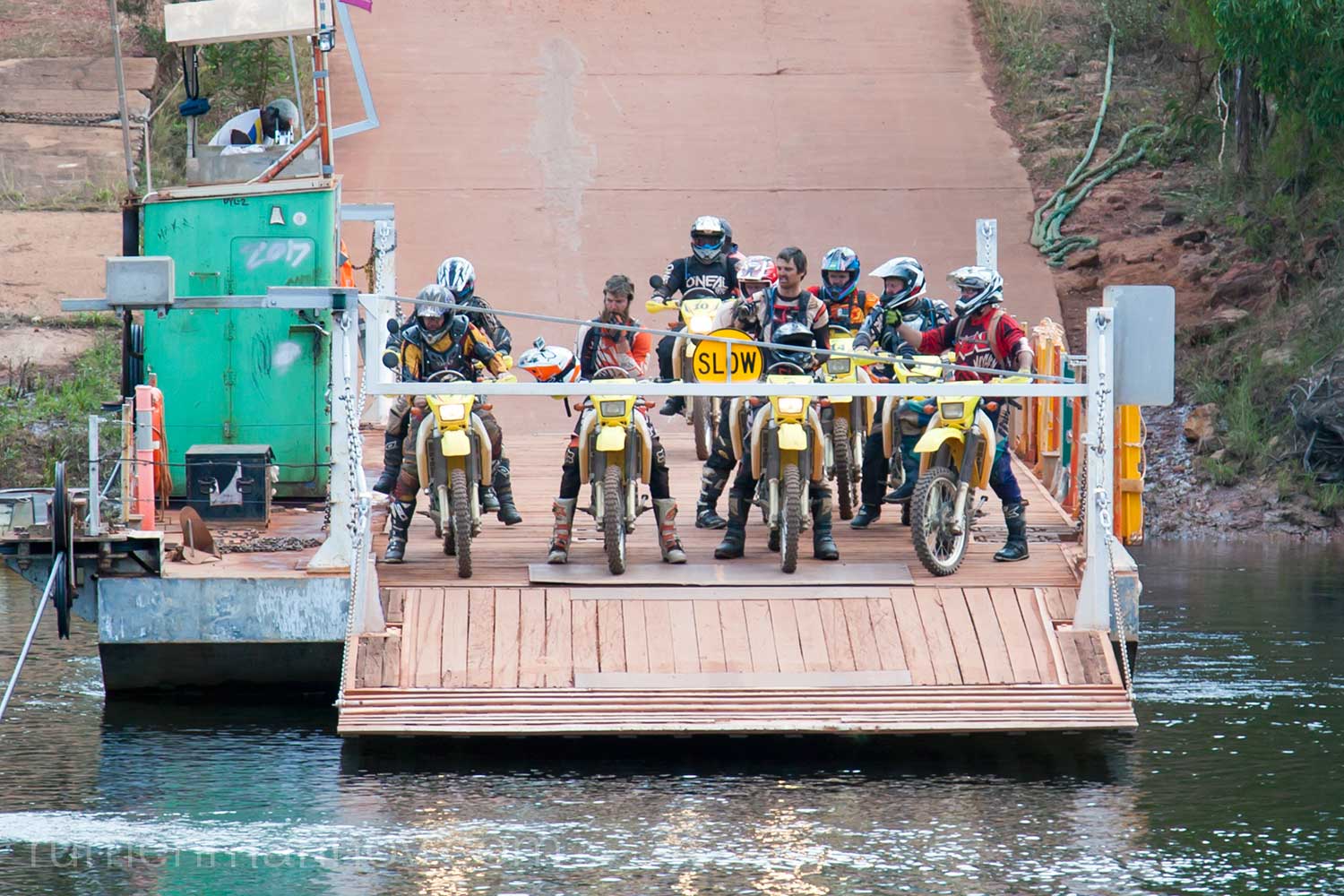
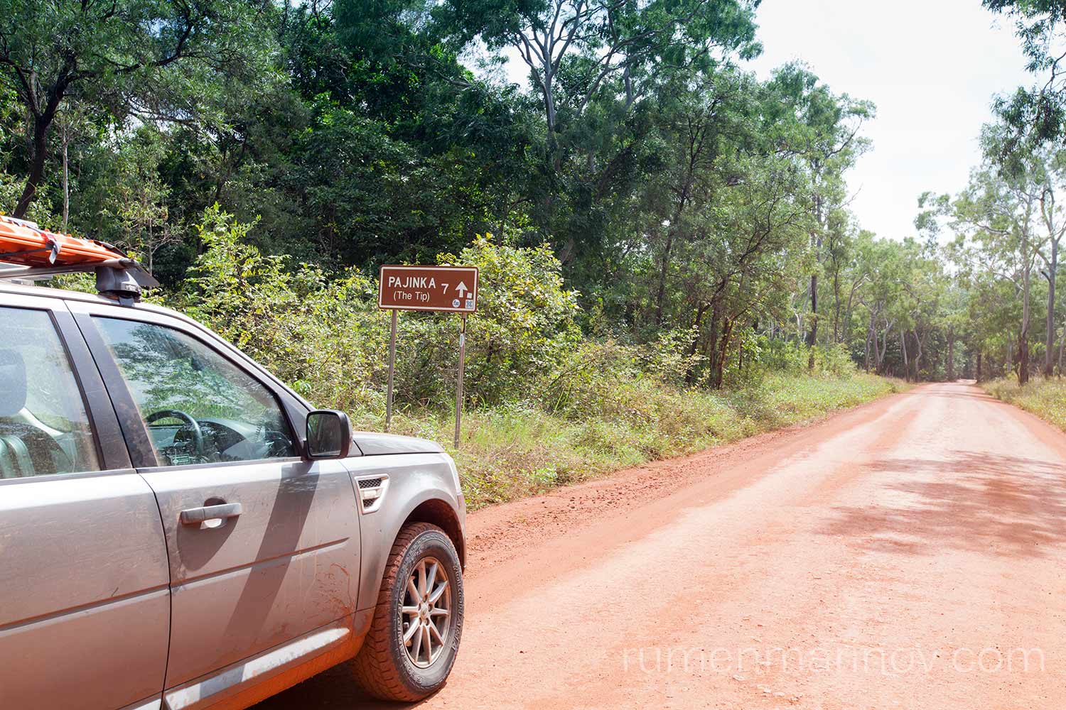
The bypass road has been recently graded and the drive to Jardine river ferry is like a song. I am surprised that for the crossing they charge me only $100 (I expected $170) and I am the only car going north.
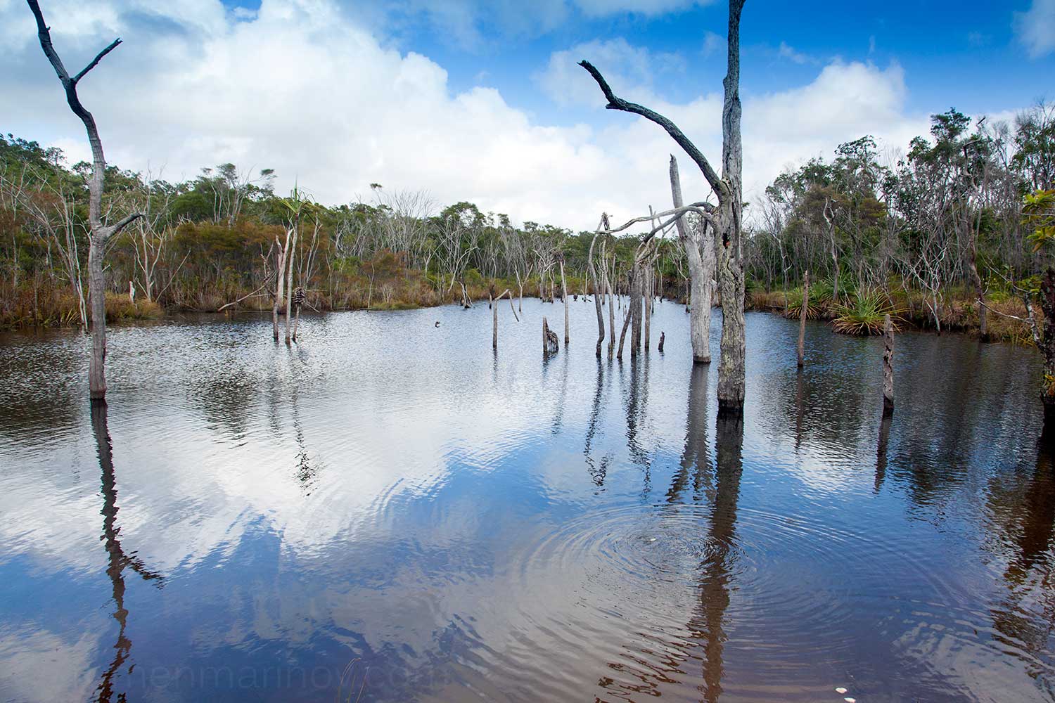
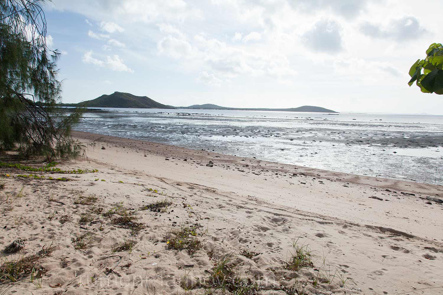
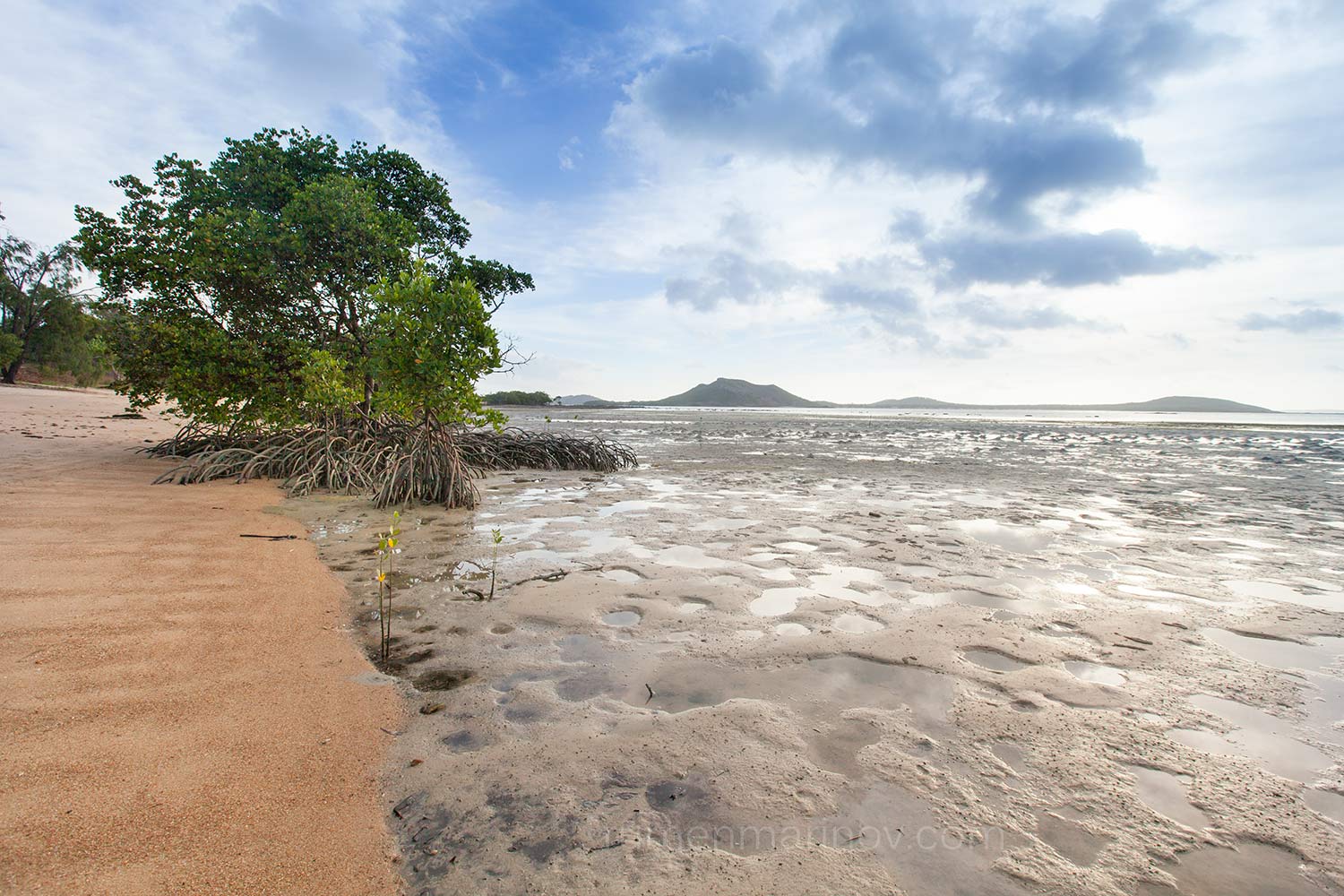
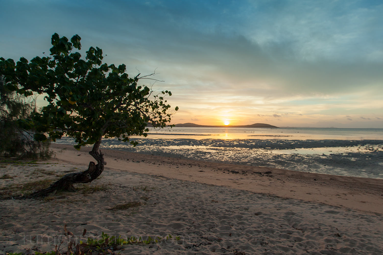
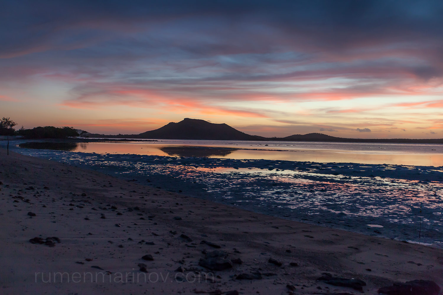
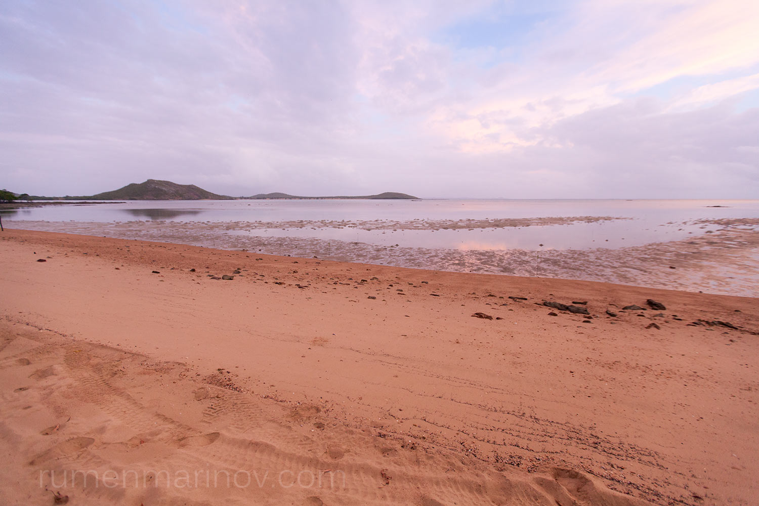
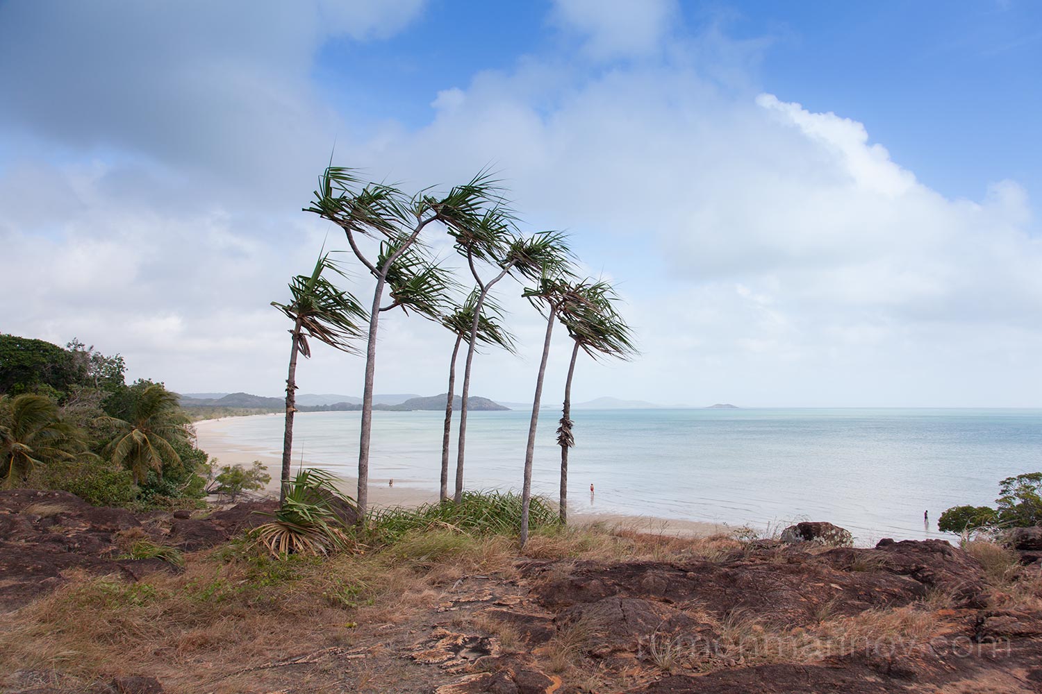
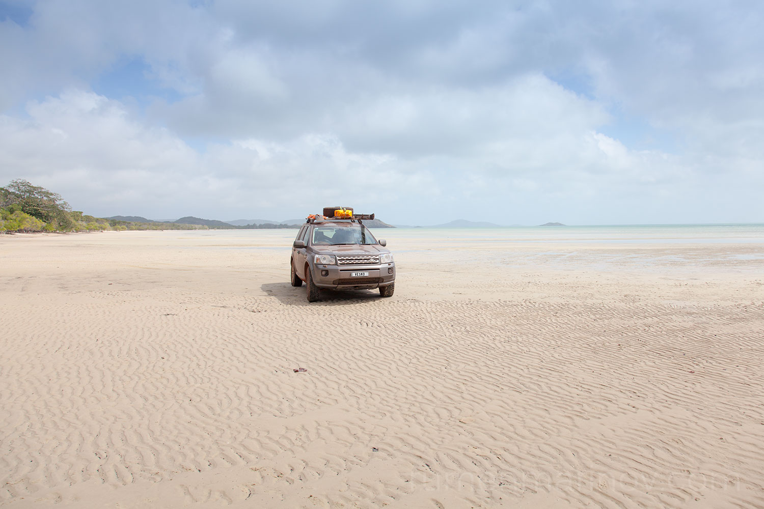
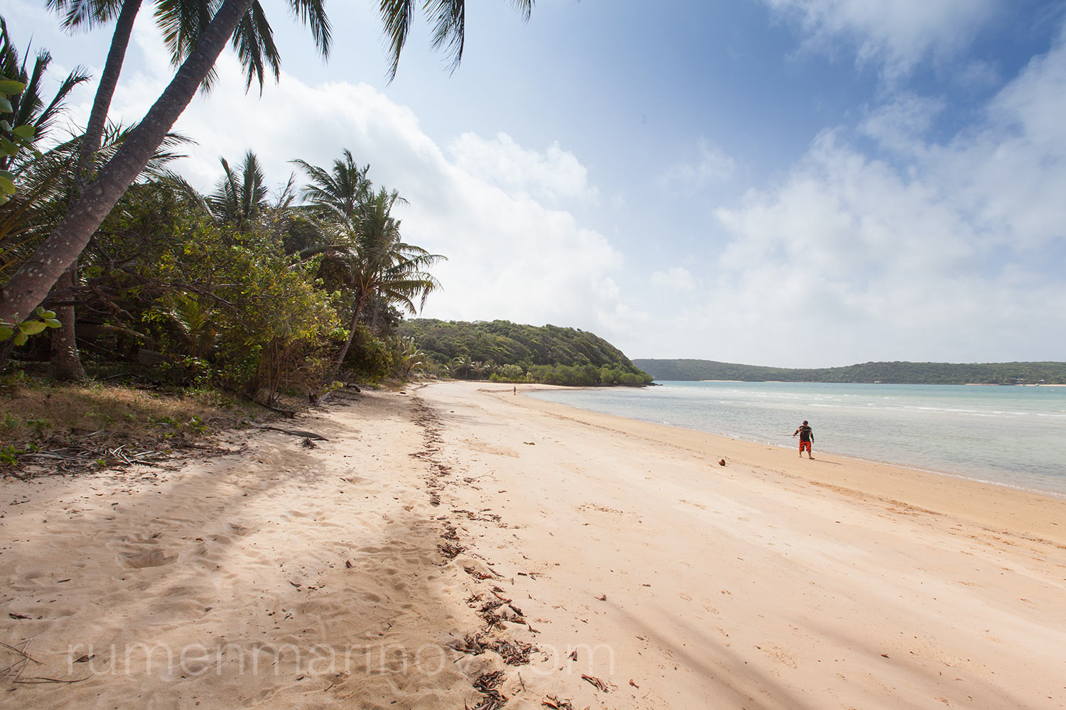
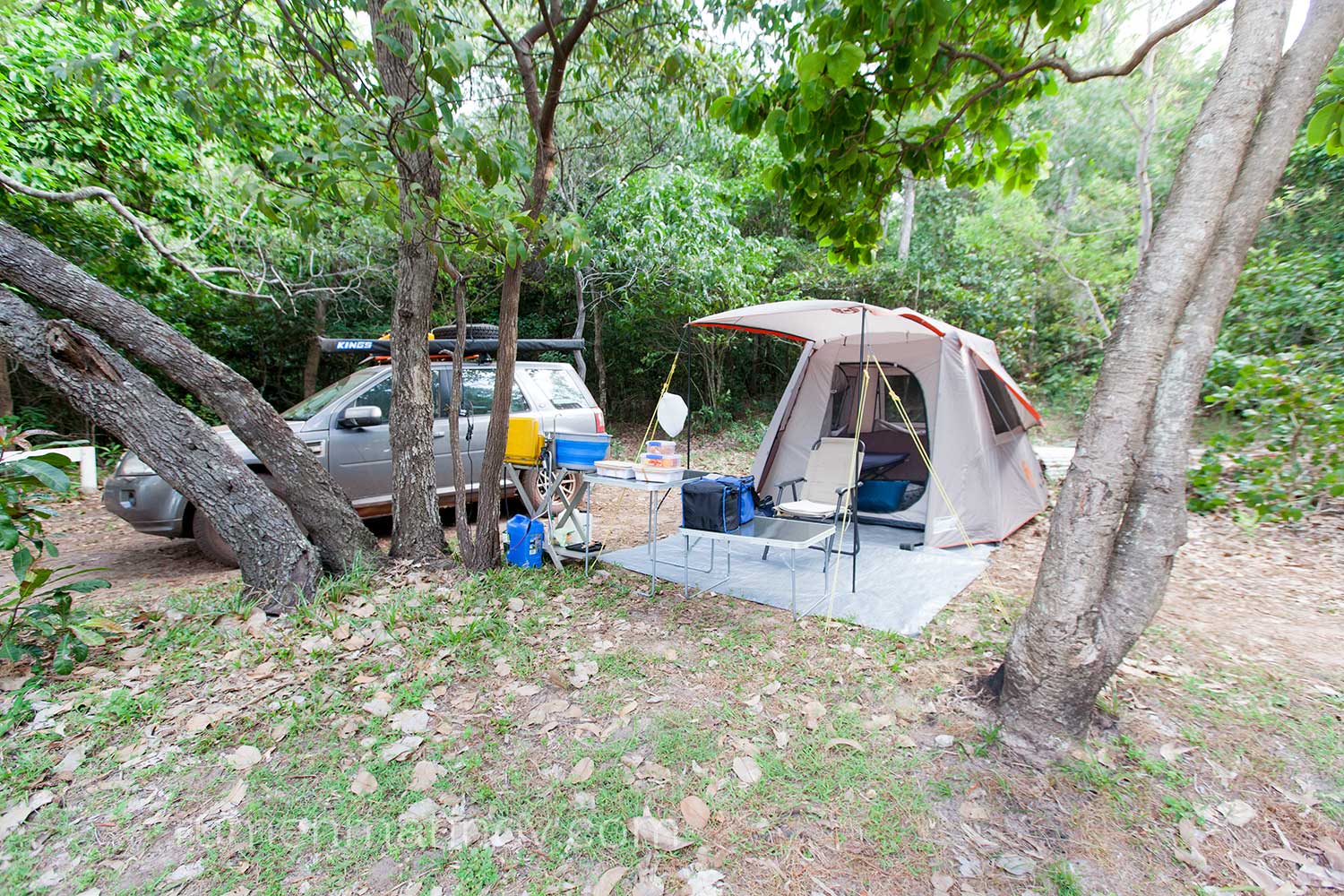
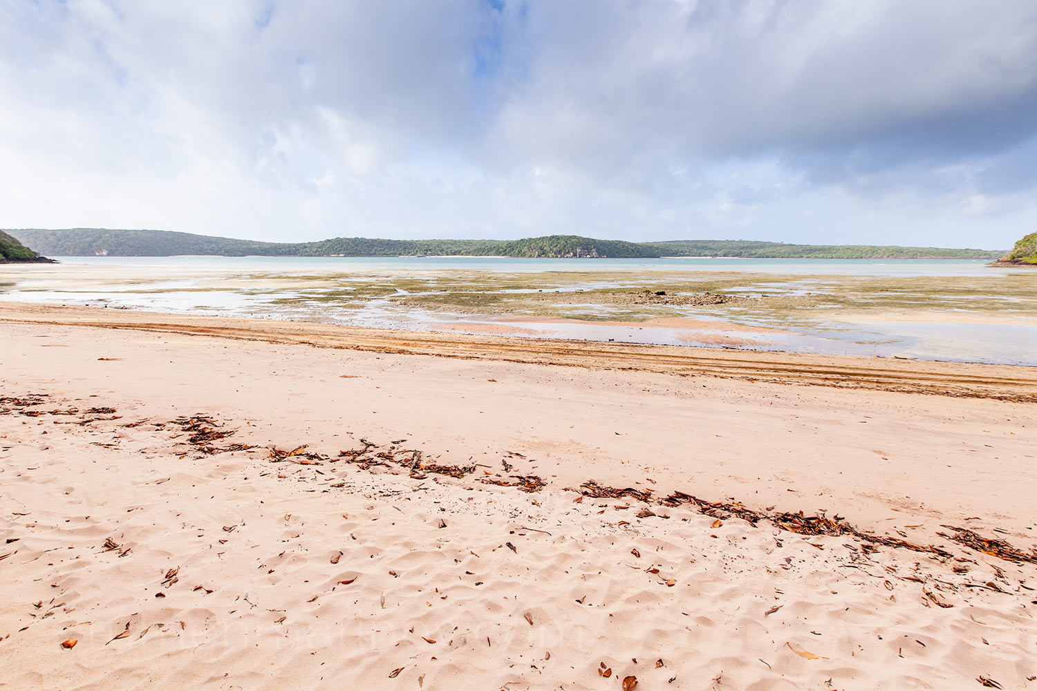
At Bamaga I top up the diesel ($1.60 per litre) and continue my way north. It is getting late and I decide to see the Tip tomorrow. Now I have to find a place to spend the night. Looking for a camping spot, I drive to Roonga Point, where I am pleasantly surprised with the wide choice of beach camping places, all available to myself. I choose one and park to set up my camp later. The first thing I do is to jump into the warm waters of ocean. Such a delight after the endeavours of today! White sand, crystal clear water and balmy weather. What more would you want?
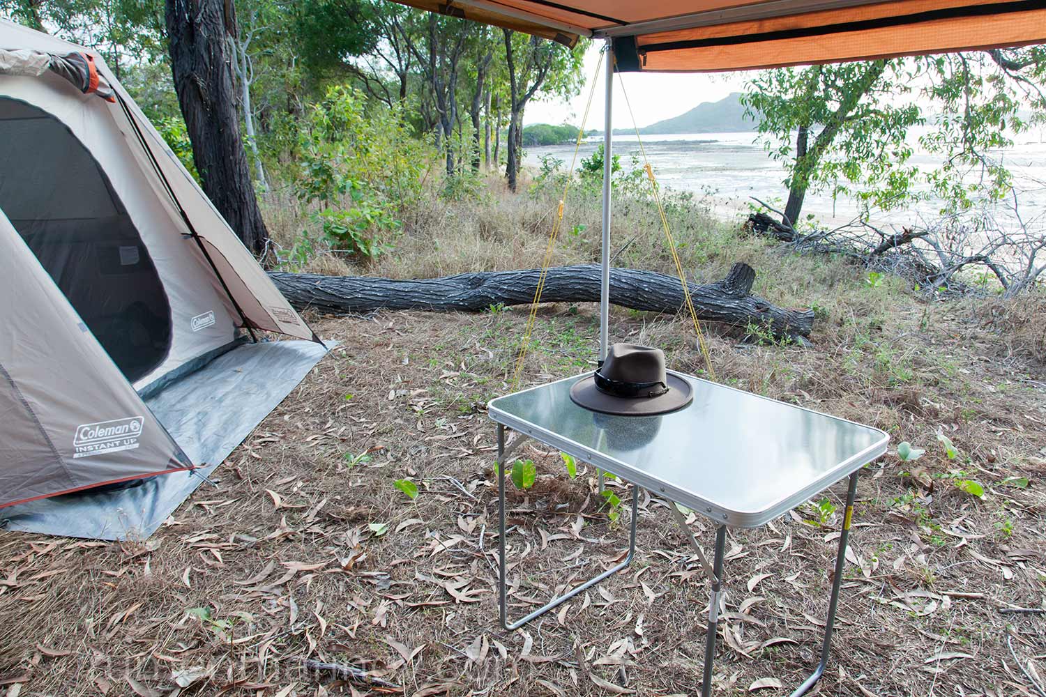
While I am splashing happily around, I notice a car perched on the beach, the occupants shouting and frantically waving arms at me. I wave back in greeting, but they are persistent and continue to wave. Something must be wrong! I come out to investigate and they tell me that a large and hungry crocodile has been seen active in the area. I thank them for saving my live, but privately I think that with such clear water I would see the crocodile long before it gets to me and also: haven’t I seen it how it is done in the Crocodile Dundee? Never mind the crocodile – it is time to cook dinner.
Day 7
Today is the day (to get right to the top of the continent)!
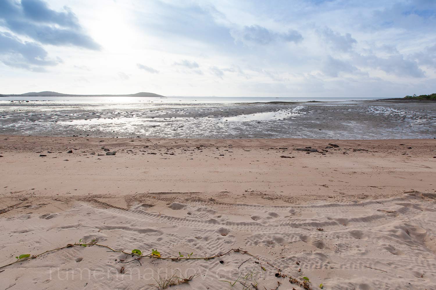
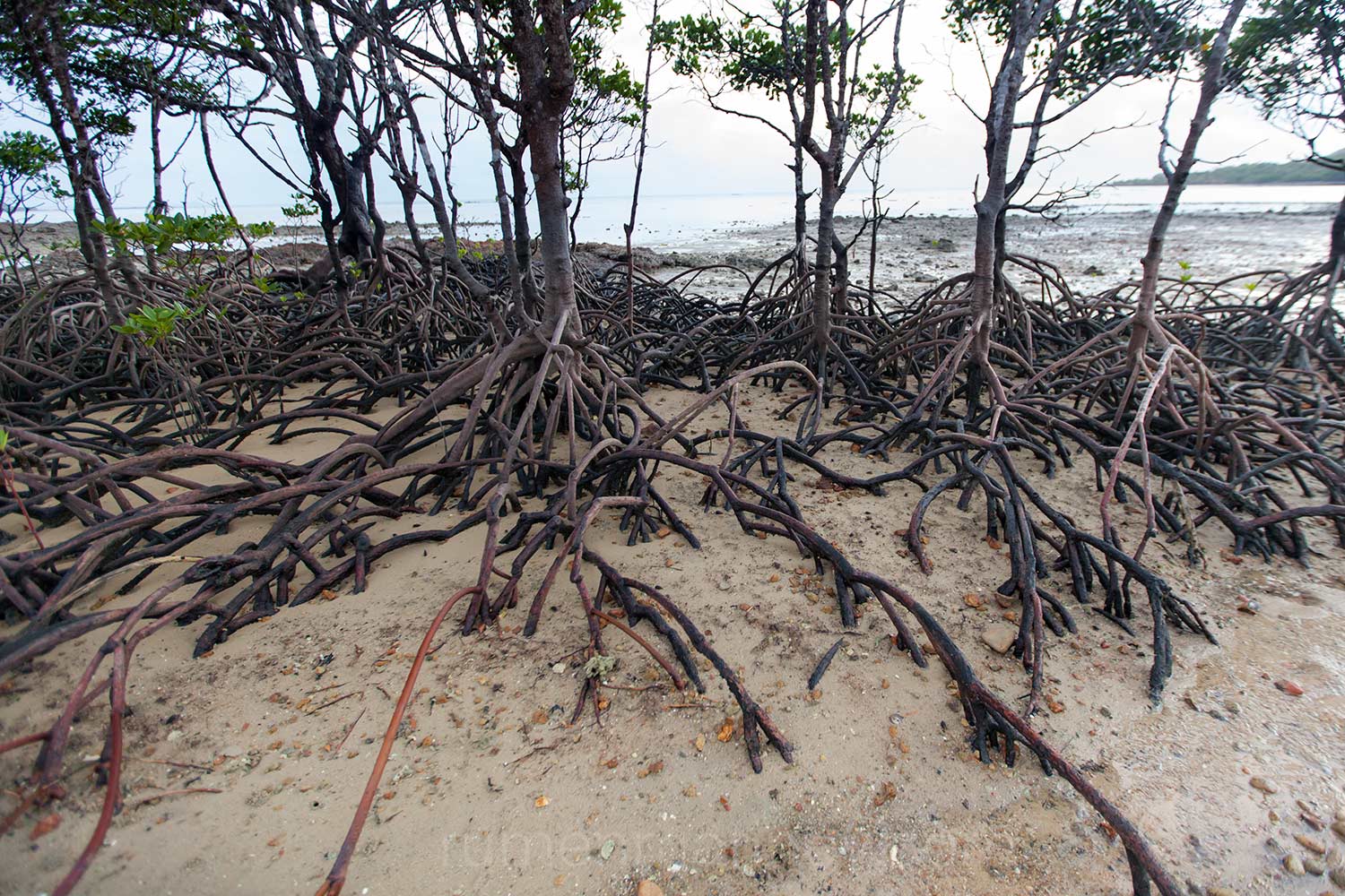
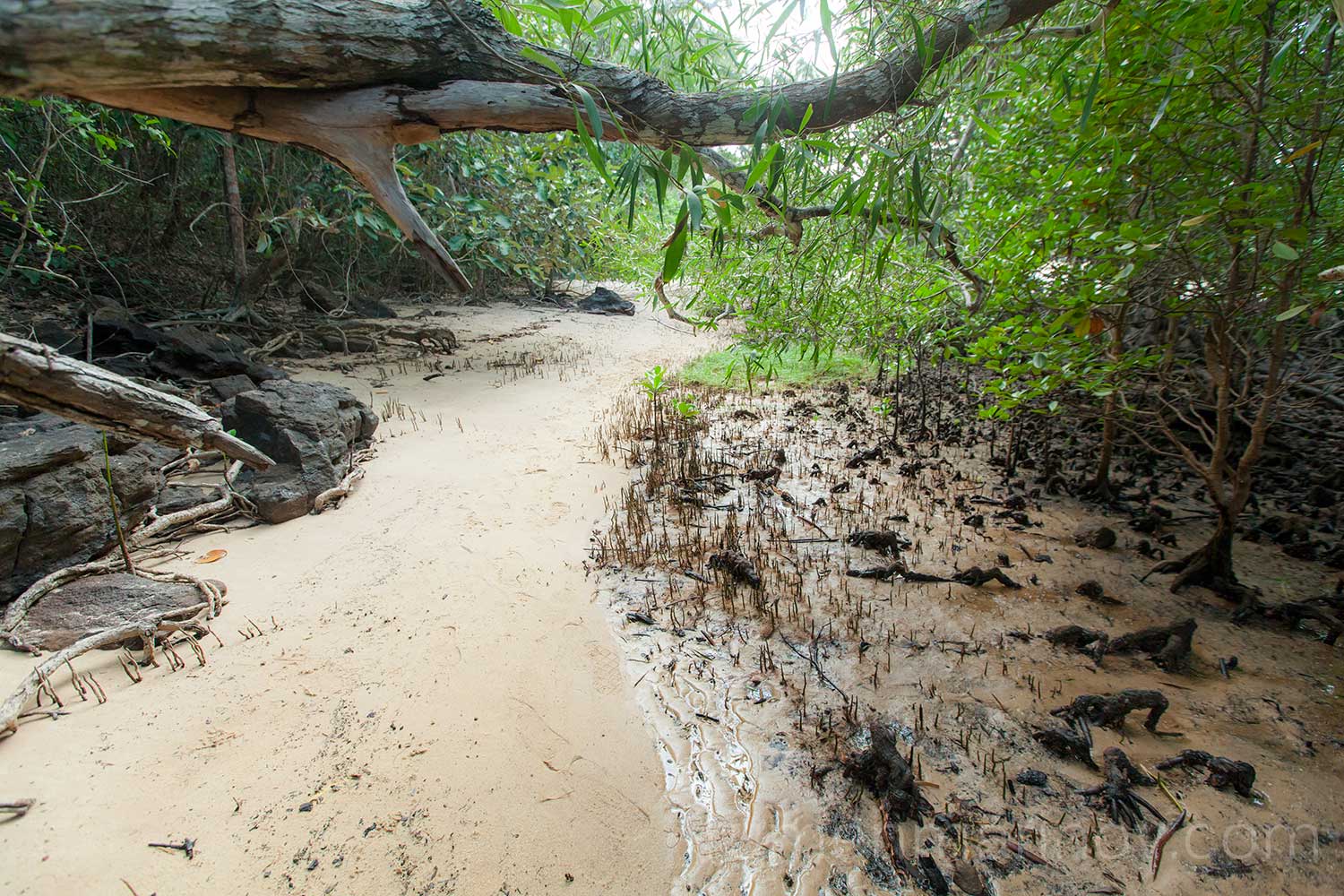
As usual I start very early, just before sunrise and the first thing I do (after the customary strong coffee) is to go looking for the big hungry crocodile. OK, not exactly, but the morning is so beautiful that I can’t resist a long walk along the beach, exploring the strange mangrove trees and admiring their thirst for life manifested in the numerous tentacle like roots that twist viciously into the wet sand/mud.
I discover lots of footsteps in the sand and soon pass a few other camps with numerous tents and trailers stretched around their camp fires; the occupants still sleeping. This must be a popular camping spot.
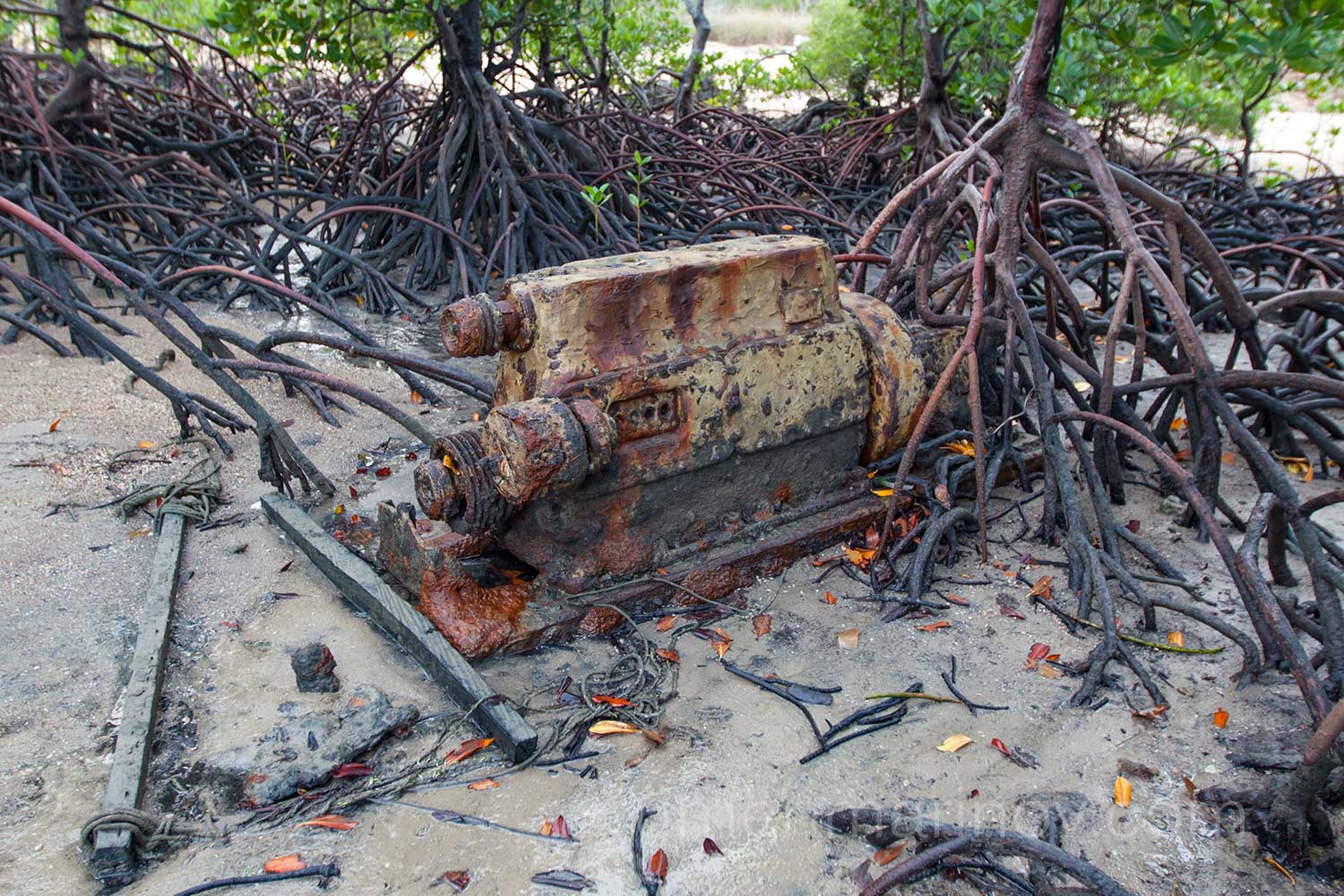
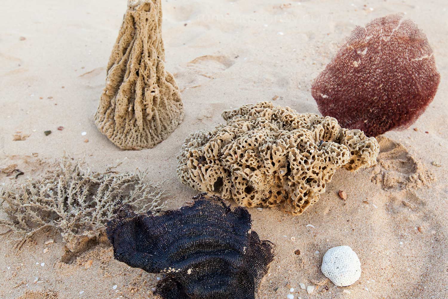
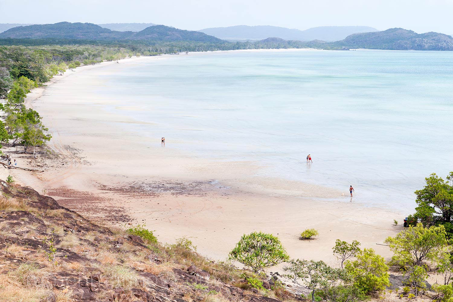
On my morning walk I don’t find the big hungry crocodile and I am not disappointed, but I find some amazing dry sea creatures, corals and a big rusty boat engine that have seen some disastrous cyclone, and now is peacefully resting amongst the mangroves. I feel so good and relaxed, that I could spend a week here, but sadly it is time to go.
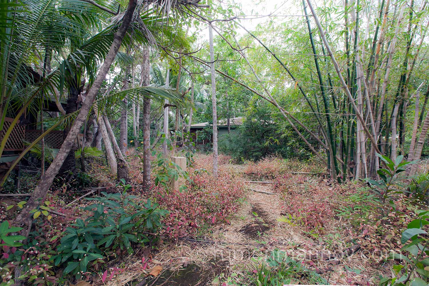
The final drive to the Tip is narrow, twisting tunnel-like in the jungle. Despite the remoteness of the place I don’t feel far away from civilisation. I have to stop often to let numerous cars to pass me on their way back from the Tip. Just before reaching the car park I see some ruined buildings in the jungle and make a mental note to explore them later.
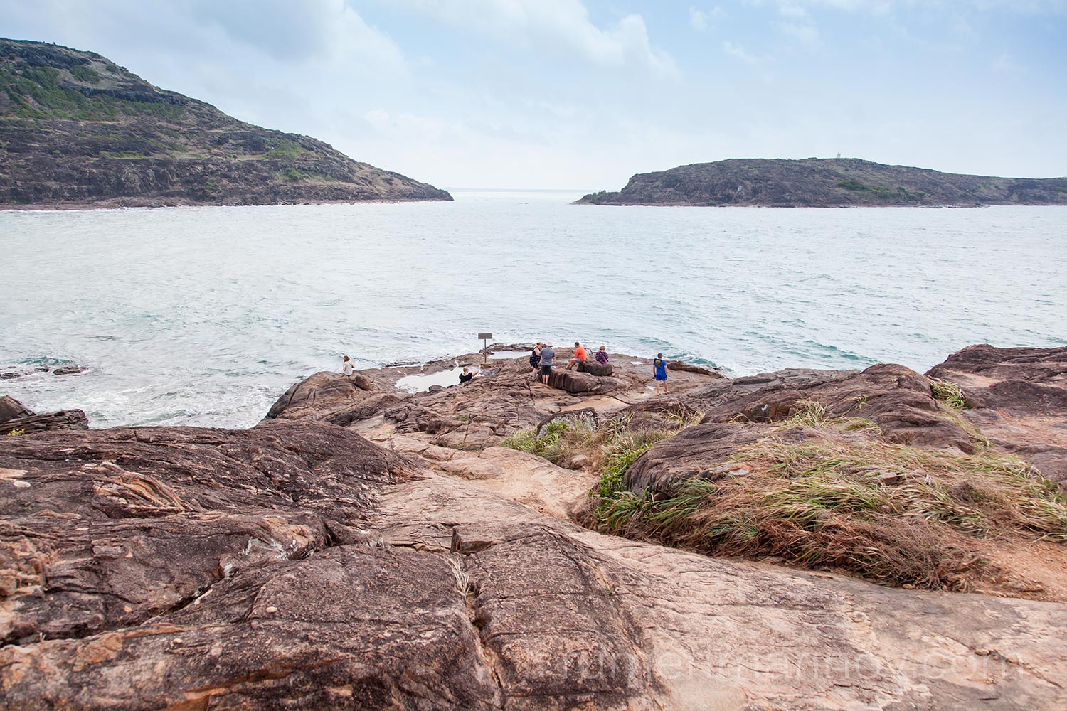
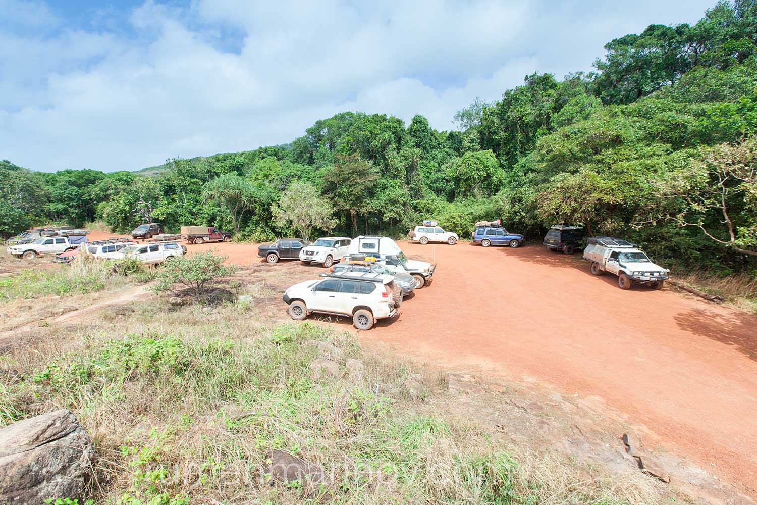
The carpark is full of cars and you can see the people who came with them climbing cheerfully on the rocky walk to the Tip. With the sun shining and the ocean shimmering in the distance I feel somewhat a festive atmosphere.
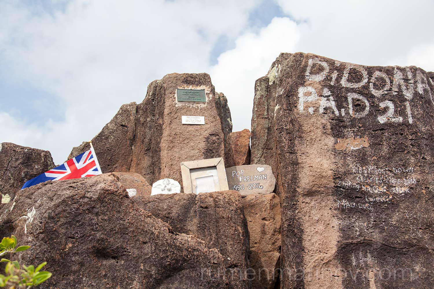
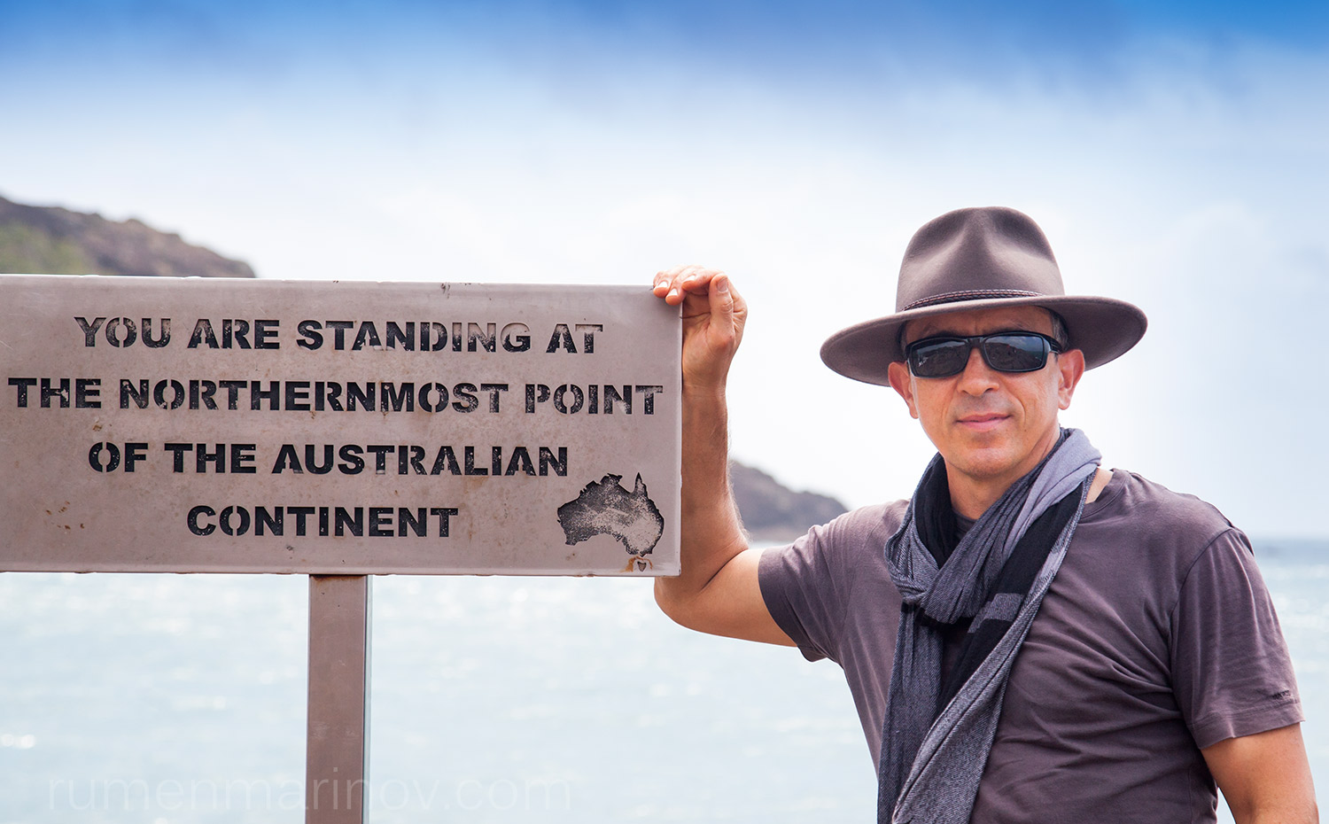
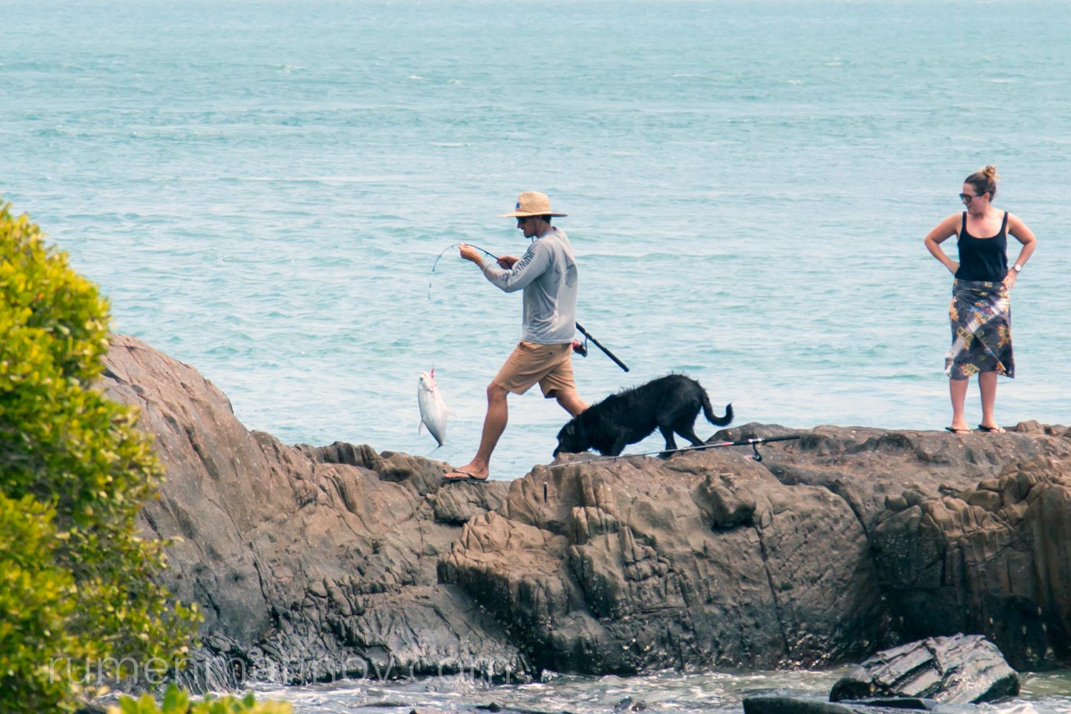
There are many people at the Tip, sitting around, contemplating life and fishing. It seems fishing is the thing to do around the Cape. And of course while I make the customary selfie, a guy on the nearby rocks catches a big fish. Apparently the selfie sign that says: “You are standing at the northern most point of the Australian continent” has some cult status – people steal it as a souvenir, even though it is stuck there with massive amount of concrete. I am also intrigued by the commemorative plagues cemented on the cliff next to the Tip. One of them is about someone who wanted to be here but died before fulfilling his dream. Reading it makes me feel privileged to be here and to be alive in general.

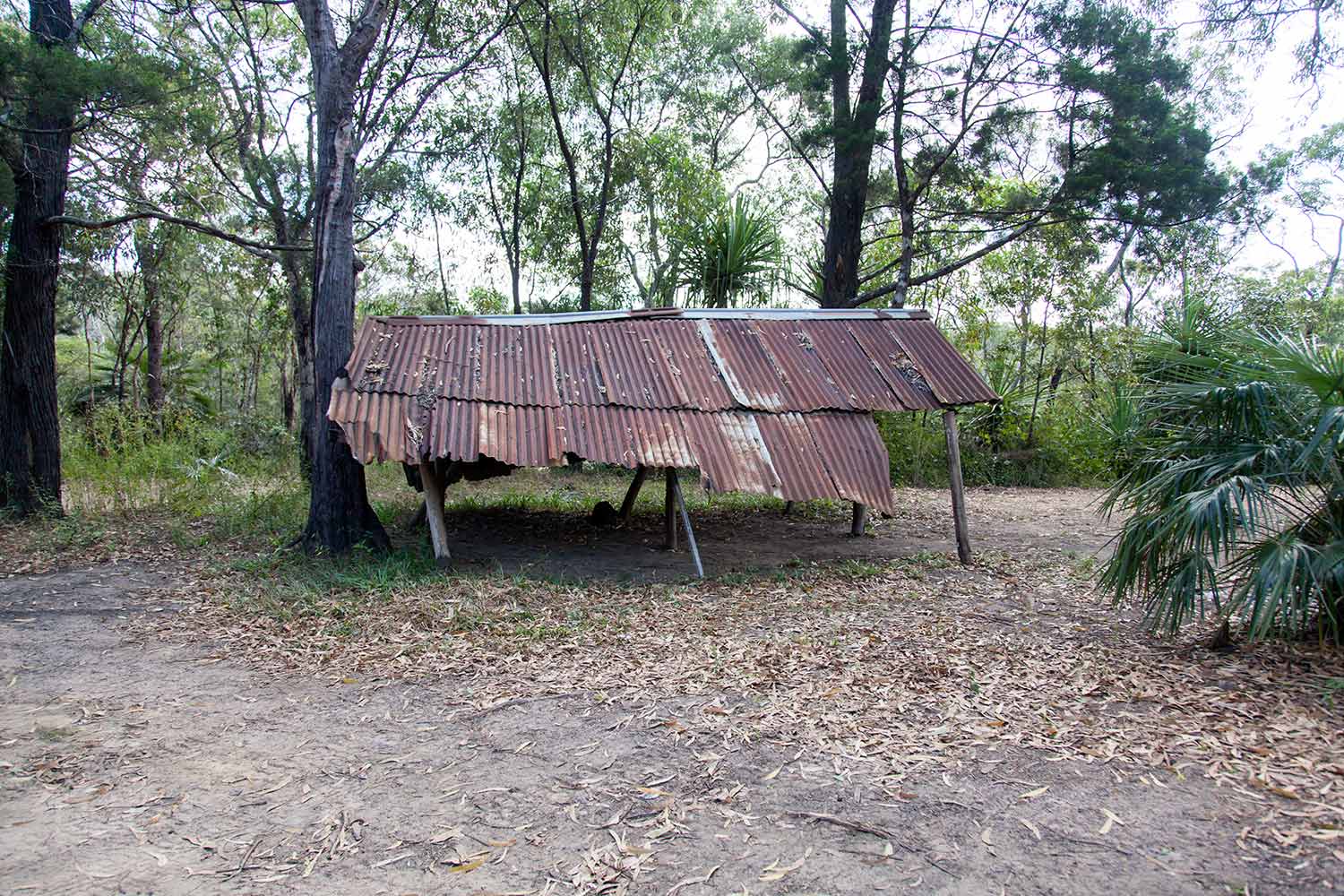
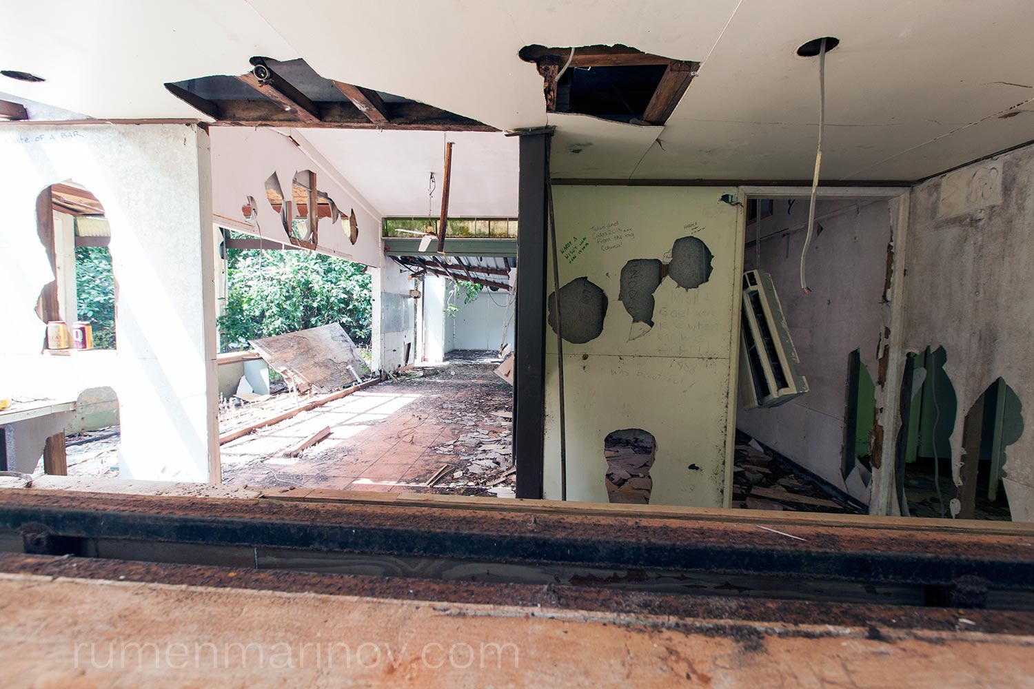
It’s nice here, but I have to move on. I want to explore some more. First I go back to the ruined building I saw on the way in. I discover many more of them swallowed by the jungle. This must have been a holiday resort as I find not only collapsed bungalows, but also a swimming pool and a bar full of smashed beer bottles.
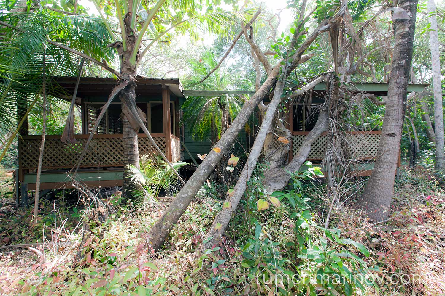
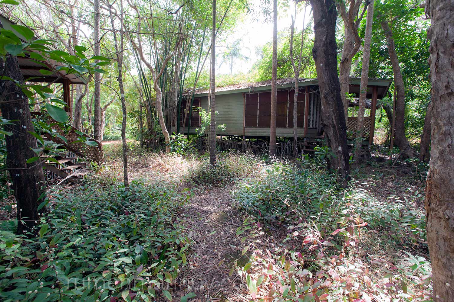
Later back in Sydney I’ll find out that this is the remains of a luxury tropical resort, built by a Queensland airline company. Google doesn’t say much, it seems people don’t like to talk about it and the story is not very clear, but what I gather is that at some point the land on which the resort was built was returned to the local aborigines. The Government purchased the resort and gifted it to the traditional owners to help them with jobs and opportunities, but sadly only within a year or two of mismanagement the resort went bankrupt and was abandoned. No one even bothered to dismantle and sell the expensive equipment of the resort for profit. Everything was left behind to rot in the jungle. Actually, I have a suspicion that the story might be completely different: say the rich white people who built the resort realised that with a short tourist season (only during the dry), the resort can never be profitable. They used their connections in the Government to recover their investment with tax payer’s money, transferring the burden to the local aborigines. Who knows?
Whatever the real story, today I feel eerie sensation moving around the ruins; it is like people suddenly left their homes in result of some horrific disaster.
I drive further east on the peninsula, looking for more history. I find a delicious beach called Somerset Beach. There is not much left, but last century there used to be a substantial settlement here called Somerset, despite the very poor soil, not suitable for any European crops (which explain why the whole peninsula is not settled). This is a very good camping spot and I set up my camp before exploring what’s left of Somerset. Along the beach I find the graves of Frank and Sana Jardine, Frank being the son of Somerset’s founder John Jardine and Sana – the niece of the King of Samoa.

Day 8
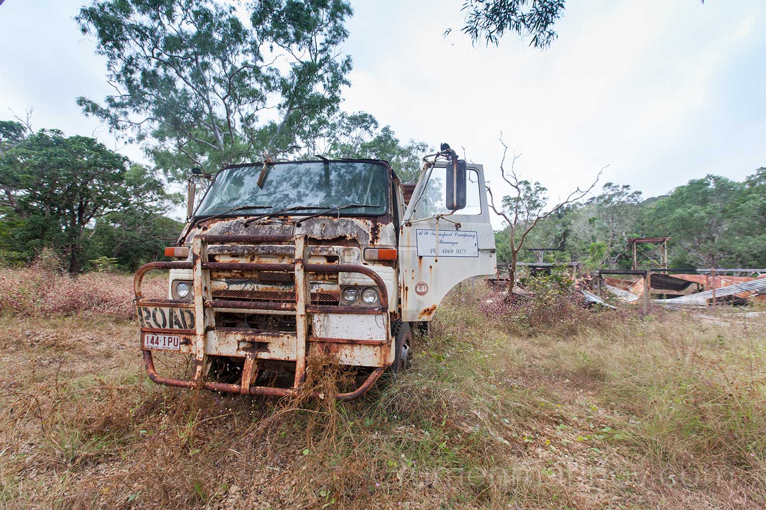
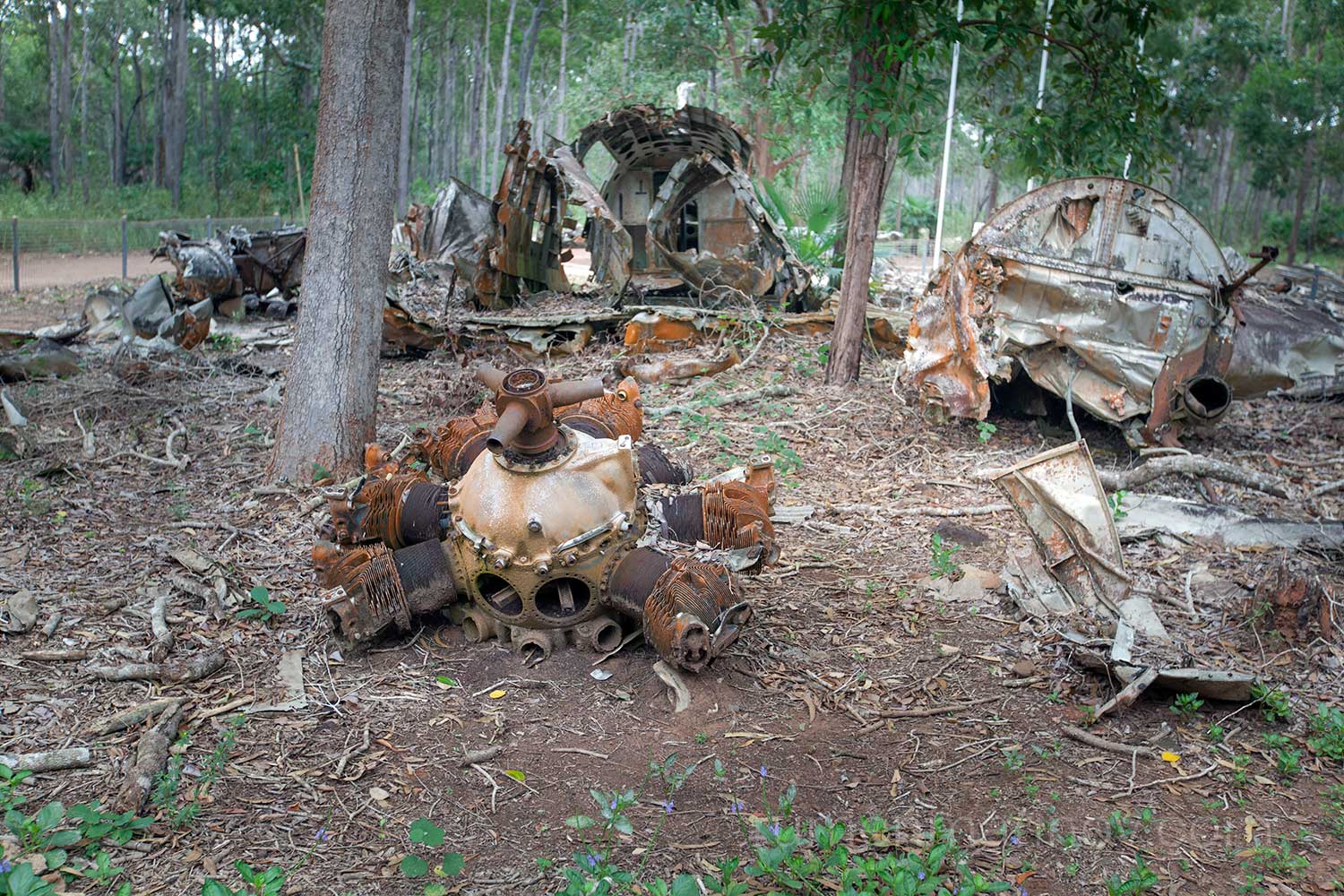
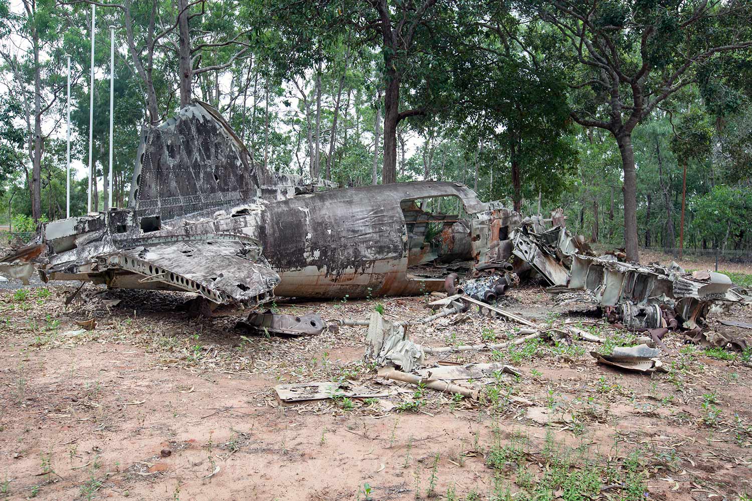
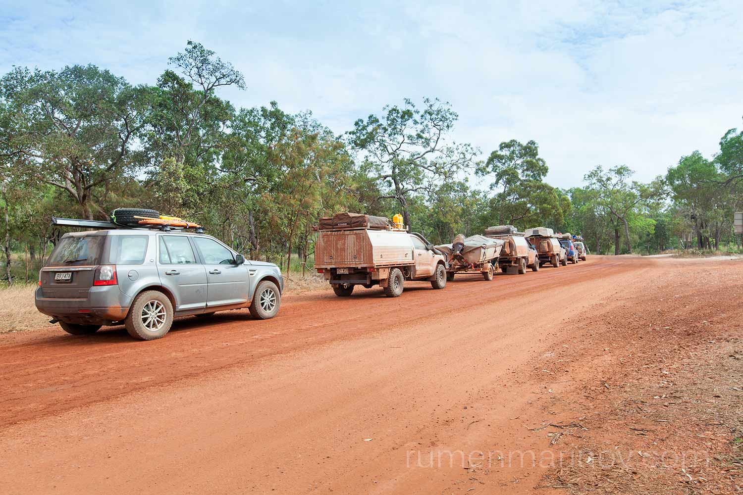
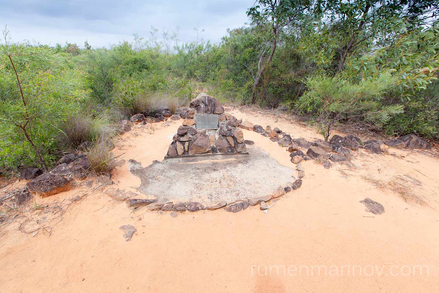
Early start as usual and starting to make my way back to Sydney. Today I’m a bit slow, taking my time to see the Crocodile Tent and the Lockerbie Ruins. Then in Bamaga I top up the fuel and the water and visit the DC3 Plane Wreck just out of town. Jardine River Ferry is much busier in both directions, but the bypass road is good and my progression is swift. I stop for the memorial of Kennedy Expedition lost camp, where three souls perished never to be seen again.

Day 9 and 10
The last days of my trip are a bit of a blur. I simply drive back to Sydney, except on the way back I don’t climb the Black Mountain near Cairns, but drive straight through Mareeba and Atherton, skipping Cairns altogether.
Every day I would drive some 1200 km and would stop for a quick sleep at a place recommended by WickiCamps arriving home around 6 pm on day 10 of my trip.
I recorded carefully the amount of diesel used (647 l) and the distance travelled by GPS (7076 km) which brings the fuel consumption at 9.14 l per 100 km. I am pretty happy with that, considering the roof rack loaded with spare tyre, maxtrax and 20 l diesel; the driving on the Old Telegraph Track and on the gravel bypass roads…
Will I do it again? You bet – Cape York peninsular is a fantastic place! It is a different world, where you just feel wonderful.
The End
Fantastic!!
Thanks Kam.